[Note: Photos for this post appear at the end in an image gallery.]
Friday, March 20th, Organ Pipe Cactus National Monument (Day 1)
We finally made it to Organ Pipe Cactus National Monument (OPCNM) today. The Sonoran Desert has a beauty all its own and the drive down was scenic. Although OPCNM is a remote place that borders Mexico, and most of it is designated wilderness that is difficult-to-impossible to access, the volume of traffic on AZ-85 surprised us.
We have learned that anytime we are surprised by something it simply means there are aspects of a place/situation that we did not understand or anticipate in advance. AZ-85 runs from I-10 west of Phoenix to Gila Bend, jogs to the west, and continues south through Ajo and Why and then through the center of the Monument to the border crossing at Lukeville. Mexican Highway 2 runs along the border and is a major east-west route that is busy with truck traffic. Puerto Penasco, on the Sea of Cortez, is only 62 miles farther south from the border. Often referred to by “northerners” as Rocky Point Puerto Penasco is a haven for U. S. and Canadian snowbirds from the western states and provinces. We saw at least a dozen businesses in Ajo selling Mexico Travel Insurance and billboards welcoming “Rocky Pointers” to town. Now we know.
This was all of more than passing interest to us. Fellow FMCA/SKP freethinkers Larry and Orene Brown will be serving as the wagonmasters for a SKP Chapter 8 (Mexico Connection) caravan of some 60 rigs to Puerto Penasco in February 2016 and we are actually considering going! They plan to rendezvous at the OPCNM campground and then head into Mexico. With that in the back of our minds we drove to the Visitor Center, which is much closer to the south end of the Monument than the north end, and is the access point to the campground. We picked up a guide for the Ajo Mountains Loop Road and decided to drive that. Linda and Val also bought general purpose field guides.
The Ajo Mountains Loop Road is a 21 mile gravel road that starts on the east side of AZ-85 across from the Visitor Center. Most of the road is a one-way loop that does not require a 4-wheel drive vehicle but does require good ground clearance. We were traveling in Lou and Val’s Chevy pickup truck, which is 4-wheel drive with significant ground clearance, so we did not have any trouble with the road.
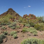
The Monument Rangers and the printed guide said the road would take two hours to drive, an average of only 10 miles per hour. There were places we could go faster than that (but why would we) but also places where we had to go much slower. The two hour time estimate also did not account for the time needed to take photographs or go on even short hikes at some of the trailheads. It took us 4.5 hours to drive the road but we stopped often and took a lot of photographs. Lou continued to work with his small Sony camera and concentrate on photos of flowering plants and cacti. I tried photographing those subjects as well, but I don’t seem to have a natural talent for taking pictures of flowers. I did, however, get some nice landscape images, including both panoramas and HDRs. I entered one of my HDR images in the RVillage spring photo contest, which was unusual for me as I do not enter my photos in contests as a rule.
When we got back to the Visitor Center it was still open so we did some more shopping. Linda bought a T-shirt and some jellied (soft) Prickly Pear Cactus candy that turned out to be excellent. The only other drive through the Monument is a 41 mile one-way loop on the west side of AZ-85. It was too late in the day to start that drive and we had been bounced around enough for one day anyway.
We drove down to Lukeville to check it out. We were told there was a restaurant there where we might want to eat dinner, but changed our minds after getting there. Lukeville is a Port of Entry with a filling station, a restaurant behind it, and an RV park (of sorts) across the street. We drove back to Hickiwan Trails RV Park, stopping along the way to take more photos in the warm early evening sunlight.
Long after dinner I tried taking some night sky photos but may Sony alpha-100, which is 8 years old, was not up to the task. Lou, however, went out around 3 AM and got some excellent photos of the Milky Way in the southeast sky.
Saturday, March 21st, Organ Pipe Cactus National Monument (Day 2)
We had originally planned to only stay at Hickiwan Trails RV Park for Wednesday and Thursday nights. With tire repair taking up Thursday we extended our stay by one night on Friday morning. We were not able to see as much of Organ Pipe Cactus National Monument (OPCNM) yesterday as we wanted, so we extended our stay at the RV Park for another night. The lady in the office said she would retroactively switch us from the $19 daily rate to the $85 weekly rate if we decided to stay longer. The longer we have been at Hickiwan the more we like it.
Linda and Val packed picnic lunches, we loaded up the truck, and headed back to OPCNM. We stopped at the Visitor Center again to get information about the 41 mile west loop road. This road is more isolated and less traveled than the Ajo Mountains Loop Road we drove yesterday and a 4-wheel drive, high ground clearance vehicle is required. The Ranger indicated on the map an area where we would probably find wild poppies in bloom and we knew there was a picnic area with a modern pit toilet about half way through the drive.
The ranger told us to allow at least four hours for this drive. There were fewer places/reasons to stop but it still took us almost seven hours to get back to the Visitor Center. And yes, we found and photographed the poppies. As we were driving along the border with Mexico near the end of the loop we were looking for Senita cacti. The Senita cactus is similar to the Organ Pipe cactus, but is a different plant. We saw some at the Sonoran Desert Museum west of Tucson, but the southern part of OPCNM is the only place in the U. S. where they occur naturally.
OPCNM is a biosphere preserve and has a sister preserve on the Mexican side of the border. The Senita Cactus is indigenous to the Mexican Sonoran Desert but a few plants are found just north of the border. We had not seen one all day when we noted a spur road on the map that ran up to the Senita Basin. Surely that must be where they are growing. We still had plenty of daylight so we headed up. We had gone about a mile when Val spotted one so we stopped to examine it and take pictures. Having accomplished our objective, and having grown a bit weary of the long, bouncy ride, we returned to the main road and completed the loop, taking AZ-85 back to the Visitor Center.
As long as we were at the Visitor Center we took the opportunity to drive through the campground and check it out. The campground is beautifully designed and landscaped. They claim to have sites for RVs up to 40 feet in length but our assessment was that they had maybe two or three sites that we might be able to get in and out of without scratching our paint or damaging some aspect of the campground. Unless/until we outfit our rig with a serious solar system we will not be staying here anyway because of the restricted generator hours.
We made the drive back to Hickiwan, passing through the northbound Border Patrol checkpoint at the northern boundary of the Monument. After dinner I transferred my photos to my computer and started processing them. Between yesterday’s visit and today’s visit I took a LOT of photographs so I had quite a bit of work in front of me.
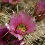
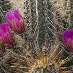
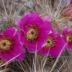
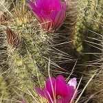
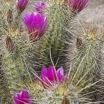
- Flowering Hedgehog cactus.
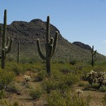
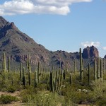
- Saguaro cacti.
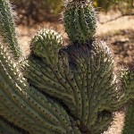
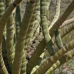
- An unusual Organ Pipe Cactus.
- An unusual Organ Pipe Cactus.
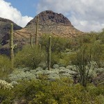
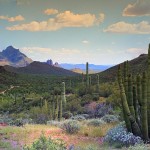
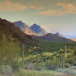
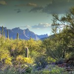
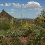
- OPCNM is full of beautiful views like this.
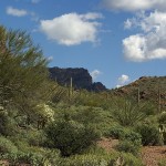
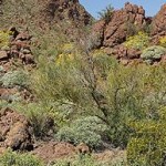
- In spite of its harsh climate OPCNM is very much alive.
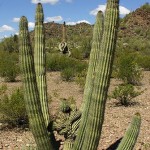
- A “wild” Organ Pipe Cactus.
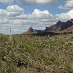
- The Organ Pipe Cactus National Monument landscape is superb.
- Looking south towards Mexico from the Ajo Mountains Loop Road. This is an HDR image.
- A view looking south towards Mexico from the Ajo Mountains Loop Road. This is an HDR image.
- A mixed stand of Saguaro and Organ Pipe cacti along the Ajo Mountain Loop Road.
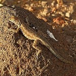
- Most of the wildlife we saw was small and skittish or soaring too far overhead to photograph.
- An HDR image along the Ajo Mountain Loop Trail.
- Another nice sunset on the drive back to Hickiwan Trails RV Park from OPCNM.
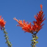
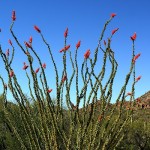
- An Ocatillo Cactus bloom on the 41-mile western loop road, OPCNM.
- An Ocatillo Cactus in bloom.
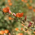
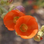
- A desert bush in bloom.
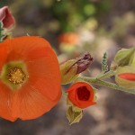
- Lovely flowers.
- Different stages of blooming.
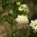
- I do not know what plant produces this flower.
- A panoramic image taken along the 41-mile western loop road.
- A panoramic image taken along the 41-mile western loop road.
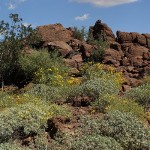
- The desert was not in full bloom but there were plenty of plants and cacti flowering.
- Amidst the barren rock there is much life in the Sonoran Desert.
- This particular cacti was in bloom all over OPCNM and produced some of the loveliest flowers.
- Linda tells me this is a Hedgehog cactus.
- For me it is all about shape and color, light and shadow, and being in the right place at the right time.
- The predominant colors of the Sonoran Desert are brown, green, and blue, so when plants bloom the color is striking by contrast.
.
