Since we spent the last two days in Yellowstone N. P. we decided to visit Grand Teton N. P. on Friday as it will necessitate yet another trip to the East Entrance, through Fishing Bridge, and south (clockwise) to West Thumb–all roads we have previously traveled–before vectoring off to the South Entrance and on to GTNP.
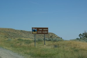
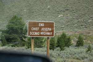
Our adventure for today was to drive the Chief Joseph Scenic Byway (Wyoming 296) from Wyoming 120 (north of Cody) to its northern terminus at the Beartooth Scenic Highway (US-212) and then take the Beartooth north to Red Lodge, Montana. From Red Lodge we headed east on MT-308 to Belfry, MT where we headed south on MT-72 towards Cody, WY. MT-72 becomes WY-120, completing the loop and returning us to Cody. We left Wapiti at 9:15 AM and got back to Cody at 3:15 PM, having driven 200 miles. I drove today to give Linda a brake as she has done most of the auto driving on the trip.
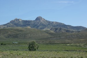
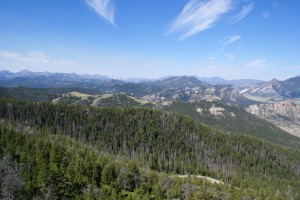
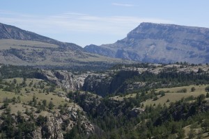
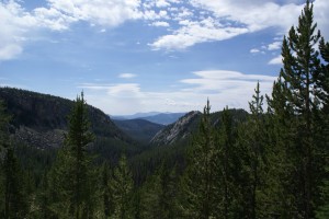
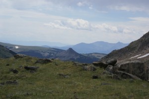
This was a new experience for both of us, and may well be the most spectacular drive I have ever been on. Over-used superlatives like “awesome”, “awe-inspiring”, “spectacular”, “fantastic”, etc. fail to capture what we saw and how it felt to be there. High and deep in the mountains, with higher deeper mountains beyond, photographs don’t quite do justice to the grandeur of this sweeping panorama; it has to be experienced.
The highest point on The Chief Joseph Scenic Byway is Dead Indian Point at 8,800 ft. ASL. The location is connected with the Nez Perce flight from the U.S. Cavalry, led by Chief Joseph. As is usually the case, there is a human history to the area as well as a natural one. And part of that history is the very existence of the roads we traveled, marvels of civil engineering.
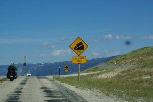
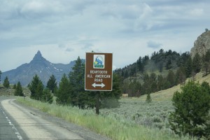
If The Chief Joseph Scenic Byway offers the grander views of glaciers and glacial valleys, the Beartooth presents the more challenging road; narrow, twisting, and climbing through alpine meadows to above the tree line, topping out at 10,947 ft. ASL. Most of the hairpin turns, and there are a lot of them, are marked 20 MPH. I spent much of the trip in 2nd gear at or below 35 MPH, and it was wonderful. The highway speed limit is 65 MPH (55 at night). I rate 45 = suicide.
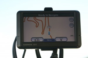
A lot of the road looks like this! These are switchbacks, so they also involve changes in altitude, not just direction.
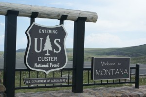
As we descended the Beartooth we entered Montana and the road changed. Not to be outdone by Wyoming, the posted speed limit here is 70 MPH (60 at night), but you would have to have a death wish to try driving it that fast. The road descends around and down the side of the mountains towards the floor of a glacial valley like nothing I have ever driven. The road is wider, however, and the grade not quite as steep, so portions can be taken a little faster. Once down, I was able to drive 60 MPH comfortably.
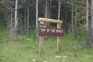
Red Lodge, Montana is a quaint, upscale western town, but we didn’t stop. The drive from there back to Cody was through the semi-arid valley paralleling the Beartooth Mountain Range to our west. Scenic enough in its own right, but our thoughts were on the soaring mountains that we had just driven through and over, literally putting us on top of this part of the word for a brief moment.
When we got back to Cody we tried to find a vegan friendly restaurant to have dinner, but ended up back at the Whole Foods Trading Company Deli where we had lunch on Monday. We then drove to the city park, got a convenient parking spot, and set up our chairs in the shade of a tree to wait for the concert.
The town of Cody presents free concerts in the city park every Thursday from 6 – 8 PM during July and August. This evening’s performers were Four Shillings Short, a Celtic folk/rock husband/wife duo. They are full-time minstrels who have been touring for the last 17 years in their Dodge Caravan. The music was varied, spirited, and skillfully done, with a good amount of explanation, and a wee bit of humor. Around 7:30 PM it started to rain very lightly and we saw a double rainbow to the east. We had the camera and my iPad2 with us, so we gathered up our chairs, returned to the car, and drove back to Wapiti.
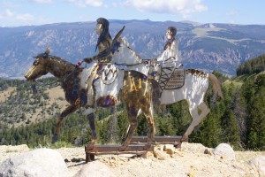
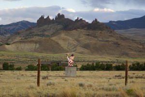
It’s always a bit amazing the things you see that you have not seen before when driving a particular road more than once. In this case we saw this (see photo) on our way back to Wapiti from Cody, a trip we had made at least a half dozen times before. It made us smile, and stop to take a picture, but I wonder what the “locals” think of this? A relocated Midwesterner, no doubt.
