WEDNESDAY 31 August
(Note: There are 20 photos in this post, spread throughout the text.)
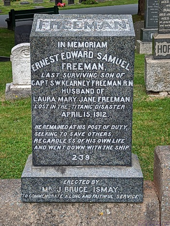
Monument for a known victim of the Titanic disaster; a crew member who stood his post and went down with the ship.
I got up at 0630 this morning, took care of my cat chores, started my laptop computer, and then cleaned our coffee cups. I had a cup of half-caff as today was a sightseeing day for us, with a possible early departure, checked e-mail, and worked on the blog post for yesterday. Breakfast was avocado toast with fresh blueberries and banana on the side, and a small can of V-8 juice.
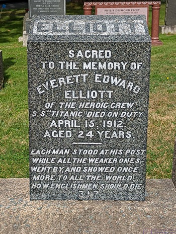
Another monument to a lost crew member of the Titanic who stood his post and went down with the ship. The inscription captured the English sense of duty.
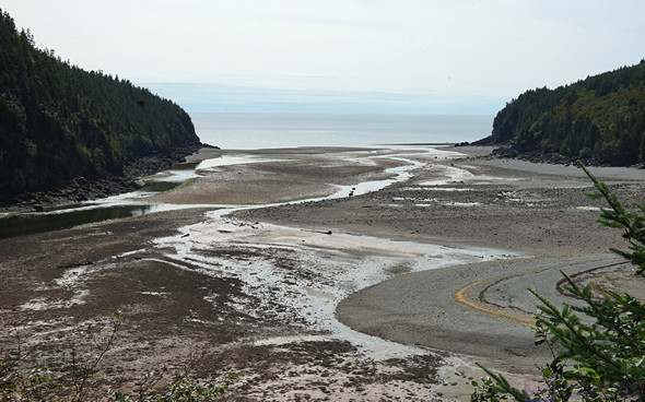
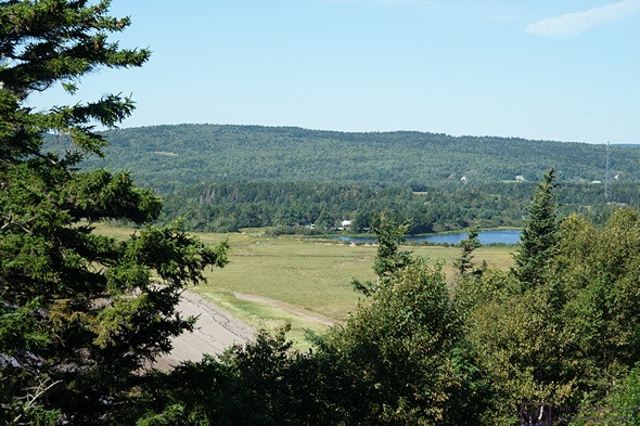
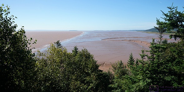
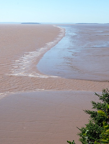
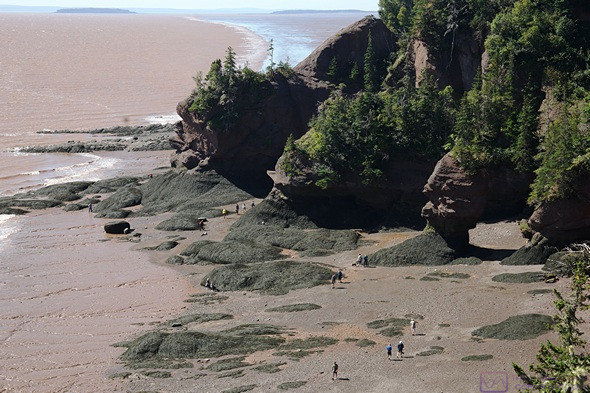
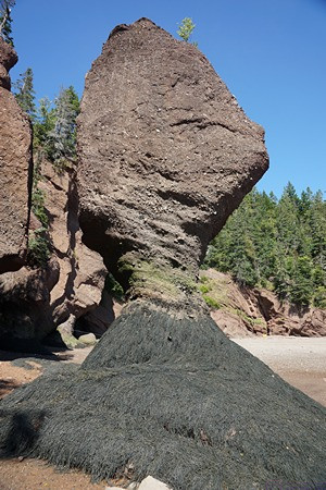
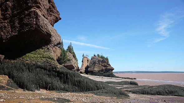
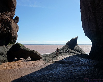
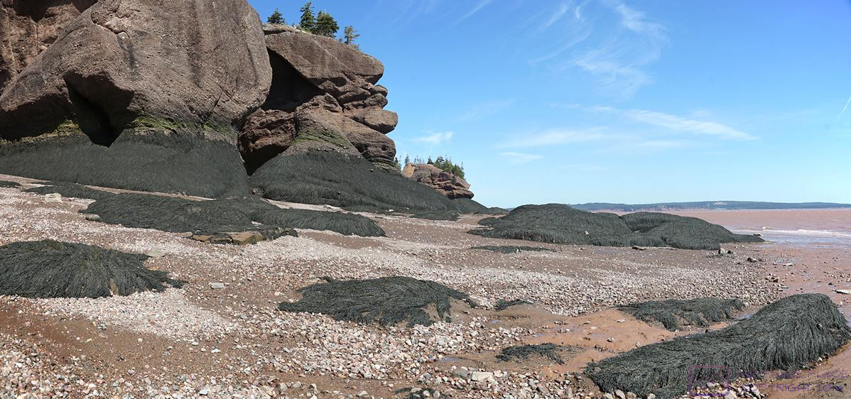
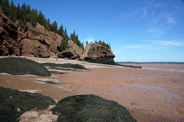
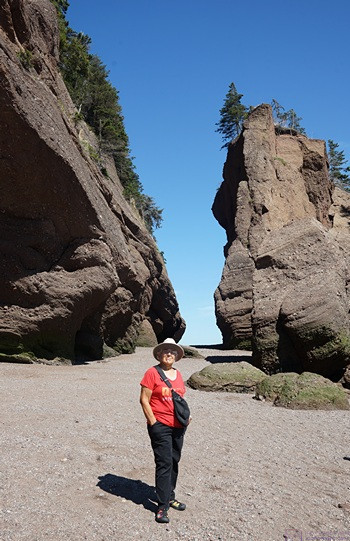
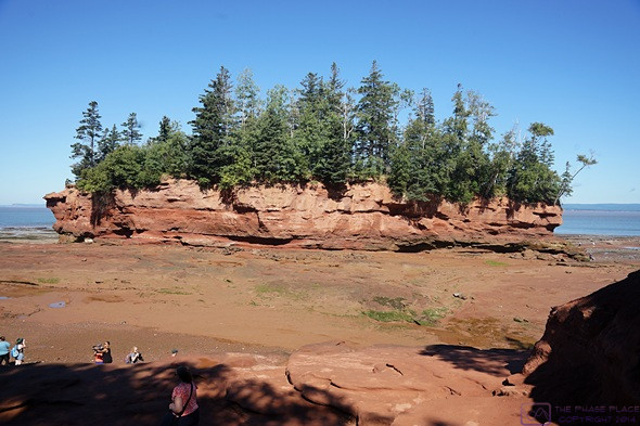
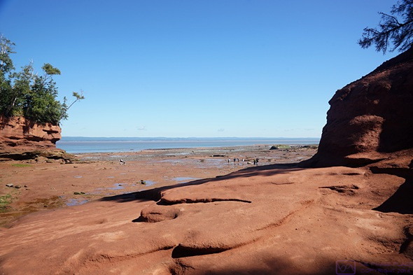
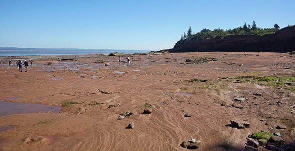
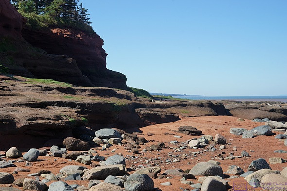
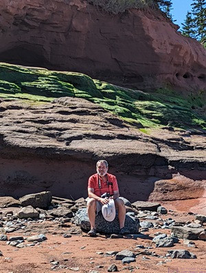
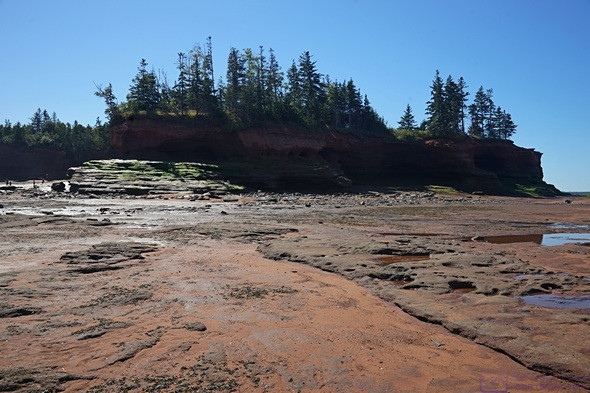
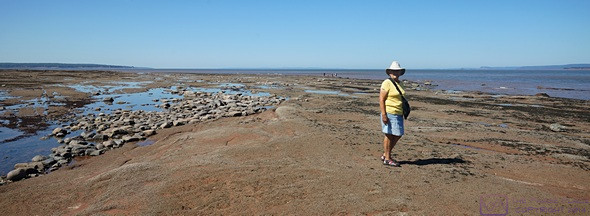
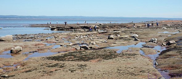
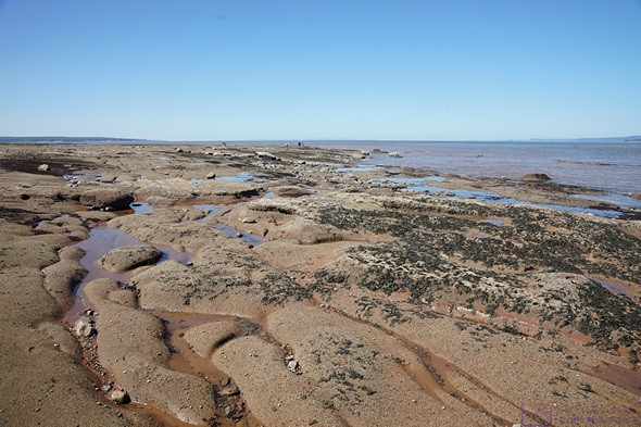
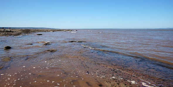
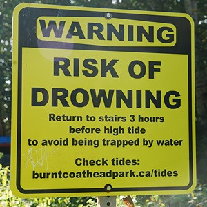
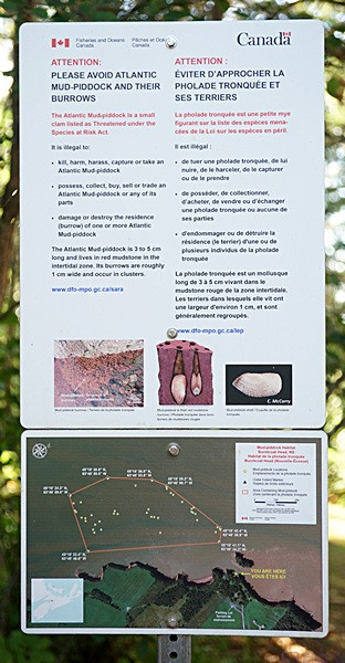
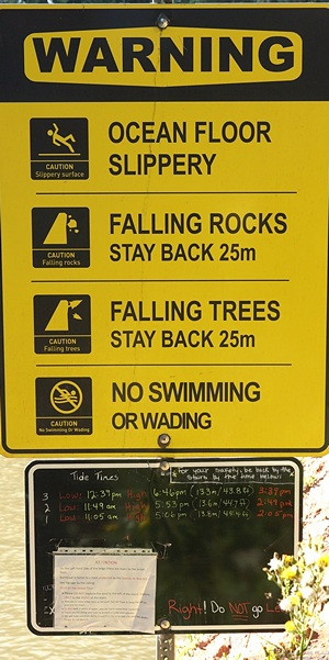
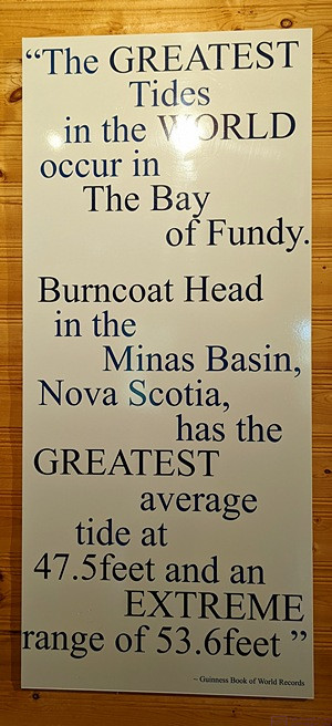
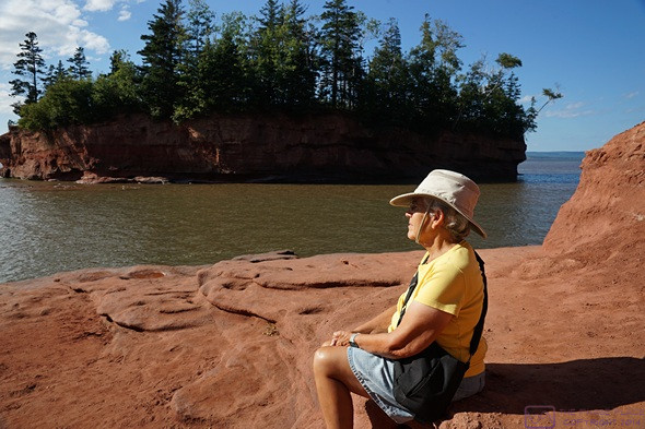
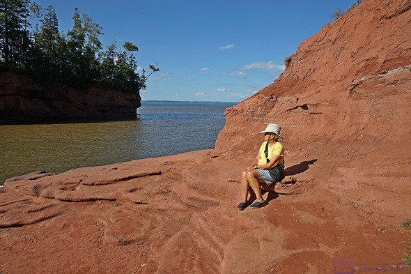
For this last day of August, 2022, and our second full day at the Halifax West KOA, we planned to do some more exploring of area. We wanted to get to Burntcoat Head Park—on the western end of the Cobequid Bay end of the Minas Basin portion of the Bay of Fundy—to see the low and the high tide. (We learned about this place yesterday from the staff person at the Peggy’s Cove Visitor Information Center.)
The low tide at that location today was at 10:25 AM, with dry, sunny weather. The high tide was forecasted to be 45.6 ft (~14 m) around 4:25 PM, but it looked like rain would start around 3 PM. The weather forecast for Halifax, on the other hand, called for partly cloudy to cloudy skies, with an elevated chance of rain starting around 5 PM. We like to keep the weather in our favor as much as possible, and decided to head into Halifax today.
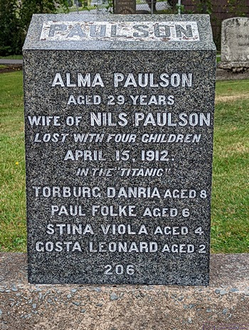
This marker really underscored for us the loss of entire families in the sinking of the Titanic.
We were getting close to a laundry day, and Linda wanted to get it done sooner rather than later. She searched online and found a laundromat in Lower Sackville. She suggested that we stop there on the way back from Halifax, so we gathered up all of our soiled items and loaded them in the car, along with our iPads. We entered the address for Fairview Cemetery, and pulled out of our site shortly after 10 AM.
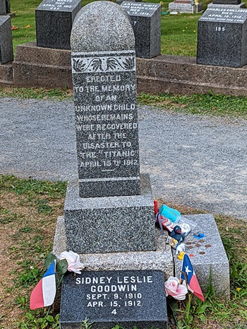
This marker was at the “bow” of the gravestones. The odds of survival for most of the passenger was low, but especially so for children.
Like many of the Canadian cities we have visited on this trip, Halifax has a crazy road system. We are probably spoiled by having lived for so long in the Detroit Metropolitan Area of Michigan, where the road system is largely based on a N-S and E-W grid. But Eastern Canada is hilly, at best, and downright mountainous in many places, and the roads just go where they have to go, including up and down steep grades.
Halifax is also the largest city in Atlantic Canada, at ~250,000 residents; not large by big city standards, but the largest metro area we’ve been in since we left the Quebec City area on June 30th. We quickly discovered that folks here drive a bit crazy after we saw three vehicles ahead of us run red lights. Duly noted; defensive driving required here.
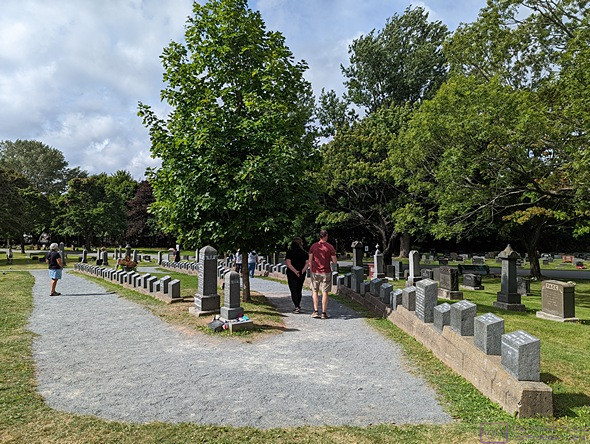
The view of the Titanic Graves from the “bow” of the ship.
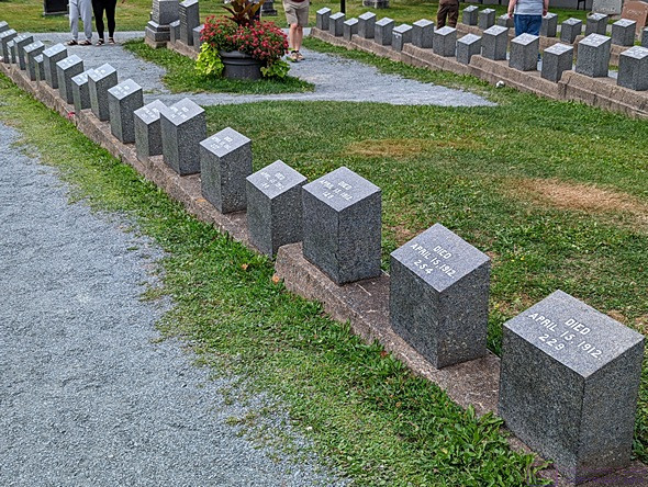
People die in all sorts of ways, some horrible or tragic, but these markers, for victims who were recovered by never identified, evoked a particularly lonely sadness.
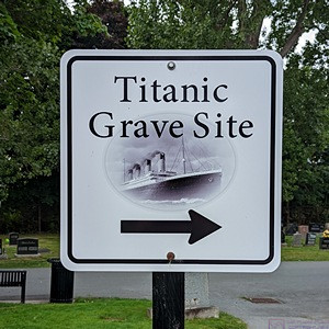
We got the sense that the Titanic Graves get a lot of visitors. Tasteful, understated signs made them easy to find.
Our reason for visiting Fairview Cemetery was that 121 victims of the Titanic disaster are buried there. The cemetery was not huge and signs directed us to the Titanic Graves. We were not the only visitors; other cars were already parked along the edge of the road.
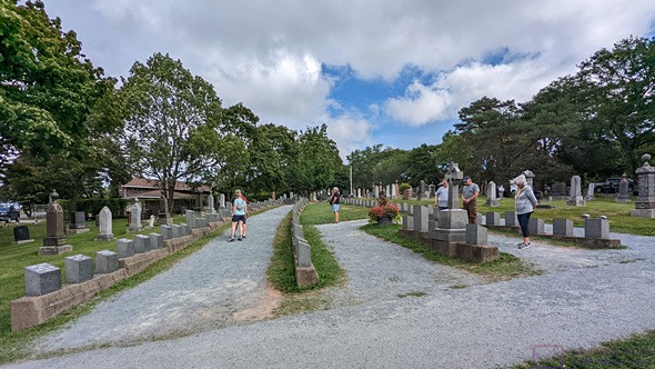
A view of the Titanic Graves portion of Fairview Cemetery from the “stern” end of the ship-like arrangement. The camera is level.
The grave markers were arranged in four columns. Two of the columns curved to meet at a point like the bow of a ship. A short, third column was inside those two. The marker at that “bow” was for a 19-month-old toddler whose identity was unknown at the time, but has since been determined using modern methods. Indeed, quite a few of the markers were for unidentified victims. While a few have been identified, most remain unknown. The 4th column ran alongside the others.
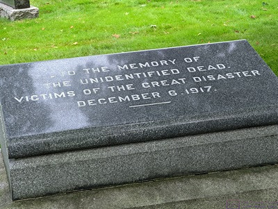
Grave sites at Fairview Cemetery of some of the unidentified victims of the 1917 munitions explosion in Halifax Harbor.
Most of the Titanic grave markers were small and identical. These were provided by the White Star Lines, who owned the Titanic. Each bears a number corresponding the order in which they were pulled from the sea. Many victims were never recovered, and some were buried at sea.
There was also something moving about the fact that every marker had the exact same date of death, April 15, 1912. A few of the small markers had been replaced with larger ones. We presumed they had been provided by the victims’ relatives. There were two other smaller Titanic Grave sites in Halifax, but we did not visit them.
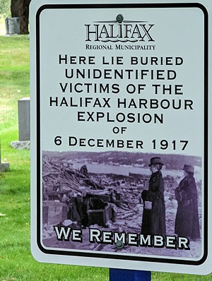
The Halifax Explosion of 1917.
The sinking of the Titanic was not the only disaster, however, whose victims were buried here. Just five years later, during WW I, a munitions ship in the harbor exploded, killing 2,000 people and injuring 9,000 more. A small area at Fairview was the final resting place for a few of them who were never identified.
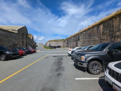
Our parking spot INSIDE The Halifax Citadel. A good deal for 3.50$. Right away we got a sense of the massive nature of its construction.
Our next stop was the Halifax Citadel. By definition, it was a fortress that sits on top of a very large hill and usually has its own defenses. In this case, the hill was very strategically located, overlooking the harbor with a view all the way out to ocean. (The view is not so clear now, due to a lot of high-rise buildings, but we were still able to see off to the horizon in many directions.)
An entrance road wound around the hill and up to the top. There was free parking at pull-offs along the way, but they were all full. We got to an entrance booth with a big “P” sign and an arrow pointing into the actual fortified area. We waited in line behind several other vehicles to find out what the deal was.
The deal was that our Parks Canada Discovery Pass covered our admission to the site (of course), but not to this particular parking area. However, for 3.50$ we could park inside the fort. Yes, please. A steep entry ramp went down into an outer courtyard where Parks Canada had made a parking lot. We found an open spot, backed the truck in, and walked through an arch in a stone wall into the Information Center. We got a map, walked out into the innermost part of the compound, and waited about 5 minutes for a gun crew (of park employees), in uniforms, prepared to fire a large artillery rifle. Boom. The noise display concluded, we walked the upper ramparts, which still had many guns and rifles on display, and then went back down to the main level to look in some of the rooms.
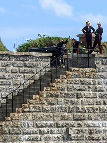
The gun crew moves the artillery rifle into position for firing (blanks, of course).
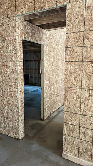
An opening with stairs going down took us to the lower area between the upper/inner walls and the lower/outer walls. Parks Canada had used this space to recreate a view of the WW II Invasion of Normandy. Although built out of plywood, the various props were convincingly painted to look like steel, iron, and concrete.
Starting from a simple mock-up of the bow of an LTA (landing craft) we looked out the bow across a beach to the land and houses beyond. In-between were large log devices designed to tip the landing craft over, followed by iron structures that resembled “jumping jacks” designed to stop boats that got past the logs. Beyond that was the minefield, and beyond that the “pill box” for the machine gun.
A park staffer said the recreation was supposedly close to life size. Movies are one thing (Saving Private Ryan), but this allowed us to actually “walk up the beach.” (As an aside, my father was in the invasion of Normandy shortly after his 19th birthday. His unit landed at Omaha Beach, Red Dog Sector, and had a 90% casualty rate. I’ve tried over the years to understand what that must have been like, but I cannot, even after seeing this recreation of the setting. It must have been truly unimaginably horrible and terrifying.)
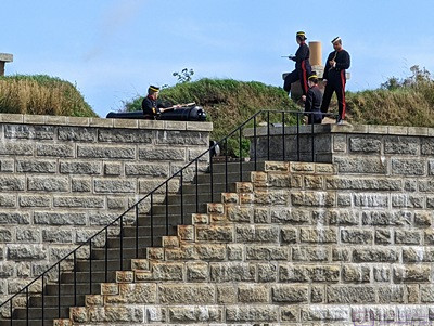
The gun crew “lights off” the large rifled artillery piece. It made a big “boom” sound, but not as loud as the smaller canon at the Signal Hill NHS in St. John’s, NFLB.
The Citadel is one of five military National Historic Sites in Halifax. Two are on islands. The other two were farther south, and we did not visit them. The Citadel is massive in its construction, made almost entirely of stone surrounded on the outside by earth.
It’s actually the 4th Citadel that Great Britain built on this site. Starting in 1828, it took 28 years to build and was completed in 1856. This was a British fort until 1906, when the garrison left and it was handed over to the Canadian militia. And It was a bit strange to stand here and think about the fact that one of the “enemies” it was built to defend against was us, as in the USA. But the threats to Great Britain in the 18th and 19th centuries also came from France, Spain, and Germany. Although the Citadel never fired a shot in anger (self-defense), it played important roles in both WW I and WW II.
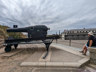
One of the large canons on the ramparts with the barracks building in the background.
Linda had researched vegan dining options in Halifax and located a Copper Branch on the waterfront, about a mile from the Citadel. We left the truck in the parking lot inside the fort and walked to the restaurant for lunch, arriving at 2 PM. Linda had a breakfast bagel sandwich and I had the Aztec bowl with smoked tofu.
We discovered this chain in Ottawa, Ontario, and found another one in Rimouski, Quebec. The menu is 100% vegan, and the food has been excellent every time. Halifax is built on the west side of a large, deep bay on ground that rises sharply from the water, so it felt like our walk to lunch was about 1/2 mile horizontal and 1/2 mile vertical. That’s an exaggeration, of course, but that’s how it felt, especially on the way back.
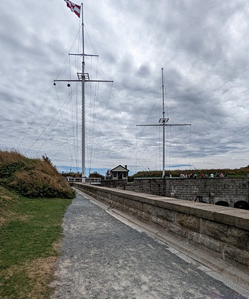
The Halifax Citadel dates from a time when flags were still the main way information was communicated between shore installations and ships. The signal flags were stored in this small building and hoisted up onto the two masts as needed. The mast on the left had twelve peripheral ropes/pegs and six inner ropes/pegs. I appeared to be designed to hoist multiple smaller flags in two vertical columns. By comparison, the mast on the right only had two sets of two ropes/pegs each. It appeared to be designed to hoist two very large flags, one on each side of the mast.
Back at the Halifax Citadel, we finished our exploration of the fort with the Canadian Army Museum on the second floor of the former barracks building in the center of the interior ground. It was a relatively small but very nice museum; well-curated, with artifacts well-displayed and well-described. I am not a military history buff, but I found it fascinating just the same.
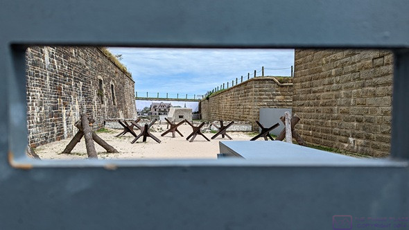
A recreation of a small piece of Normandy Beach, France on D-Day, 1944. This view is from inside the mockup of an LCA (Landing Craft, Assault) which carried the infantry troops ashore. The Germans knew an attack was coming but did not know where it would occur. The log structures were designed to tip over the LCAs. The iron “jumping jacks” were designed to stop the LCAs if the made it past the logs. If troops managed to make it ashore (many did not), they had to cross a mine field, beyond which were “pill boxes” housing machine guns.
Linda had also researched laundromats, and found one in Lower Sackville. On checking further, she discovered that it had really poor reviews. She located another one only 5 minutes from the Citadel, so we drove there instead. Downton Halifax is a dense urban area, so we expected parking to be a problem, and it was. This was a small, neighborhood laundromat in a somewhat bohemian neighborhood, in which we suspected some of the residents did not have washers and dryers, either in their apartment or even their building. There was one open parking spot across the street (naturally), but I was unable to get turned around owing to the myriad of one-way streets in this part of town, and intersections where left turns were not permitted between 3 and 6 PM. It was already after 4 PM, of course.
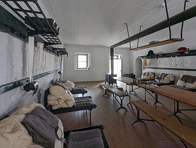
A view of one the rooms in the barracks building at The Halifax Citadel. 11 men “lived” in this room. They slept and took their meals here, and tended to their daily chores or whatever activities occupied their time when off-duty. Note the bed which fold in half lengthwise when not in use. This made room to use the tables in the center.
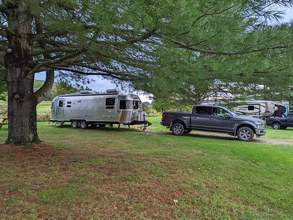
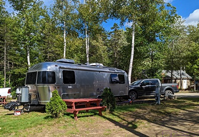
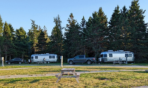
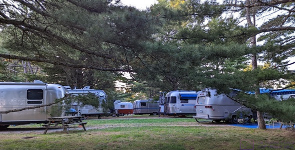
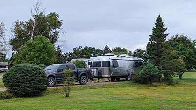
We decided to bail out on this option, head back to the RV Park, and see if the laundry room was available. The laundry room is near the office at the entrance to the park, so I dropped Linda there with the intent of heading back out to the Irving fuel station on Hwy-1 at the egress to Hwy-101. Several RVs had pulled in to register, however, including an older Airstream Classic Limited (3-axle) that we passed on the highway. None of them pulled to the right, so the entrance lane was completely blocked.
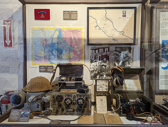
World War II radio equipment display. The technology that was developed and used in this war was amazing. It was the first “modern, industrial” war but, unfortunately, not the last.
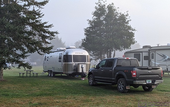
The Airstream pulled up, perhaps thinking he was helping the situation, but made it worse. The last building on the right on the way out is a “park model” unit. The car parked in front of it was not as far enough off to the right as it needed to be, and the space between it and the rear end of the Airstream was too small for me to get through. So, I sat and waited.
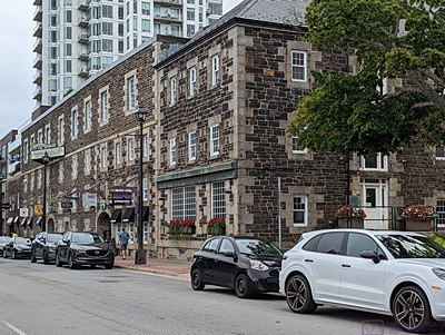
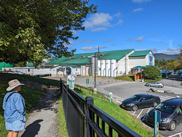
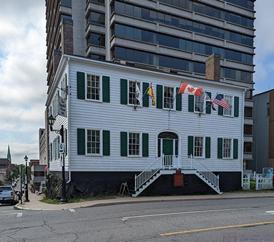
The Alexander Keith Brewery in Halifax, Nova Scotia. Established in 1820, and in continuous operation since then, it lays claim to being the oldest continuously operating brewery in North America.
One-by-one, people got registered and moved their RVs, making room for the RVs behind them to pull up and continue to block the entrance lanes. There are two of them by the office, and RVs are supposed to pull to the right while they register. But the Airstream finally pulled up far enough that I could get by.
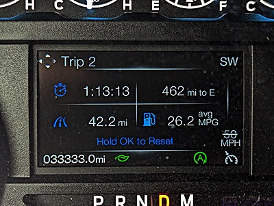
The Irving station was only 1.2 miles back up Hwy-1. Traffic was light in my direction, but heavy coming the other way, including at least three RVs in a row that I presumed were headed to the KOA. In spite of heavy traffic exiting Hwy-101, the station was not that busy and I pulled right through to a pump. Credit card accepted, gasoline pumped, F-150 mileage computer reset, and I was on my way back to camp.
In my brief absence, the flagger for the construction project just beyond the entrance to the KOA, had stopped traffic. When I became the last vehicle in line, there were about 8 vehicles between me and the KOA entrance. But the flagger did not let traffic go, and the line behind me grew until it was out of my sight. (I imagined it might have backed up all the way to the highway egress.)
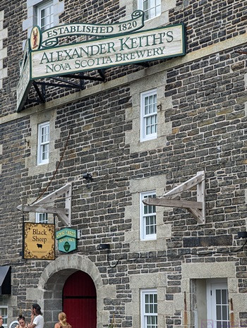
A closer view of the sign for Alexander Keith Brewery. Tours were available, but we did not have time to take one.
A pickup truck from somewhere behind me pulled out and passed me on the left and then cut through the stalled traffic into the KOA. I decided I could do the same thing, and a car a few ahead of me actually beat me to the punch. But at least I was finally back in the RV park and not sitting in traffic. I checked in with Linda. The laundry was empty when she got there, so she had snagged both washing machines and had use of both dryers. She said it would be another hour or so before the laundry was done.
Back at our trailer, I started my computer, gave Juniper-the-cat her afternoon kibble, and settled in to check my e-mail, copy photos from my phone to the computer, and start working on the blog post for today. I still had work to do on the post for yesterday, but wanted to capture today’s events before the details got lost.
Linda texted me at 5:43 PM and I drove down to pick her up. It had started raining, off and on, by then, but not hard and we got the clean laundry inside without it getting wet. We both spent a little while putting our clean clothes away. Linda made her bed, and I left mine for later, as there is only room in the aisle to make one bed at a time.
I cleaned out our coffee cups from this morning and we each had another cuppa; decaf for Linda and half-caff for me. Linda finished up the dishes from this morning and we settled in for the evening. We skipped dinner as we were not hungry, but had some popcorn around 8:30 PM.
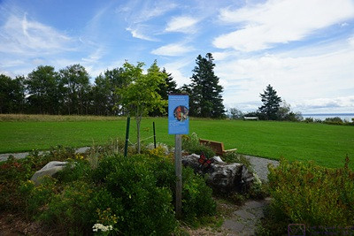
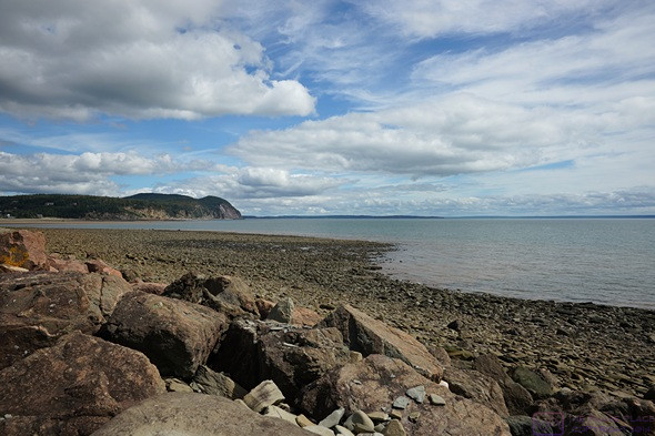
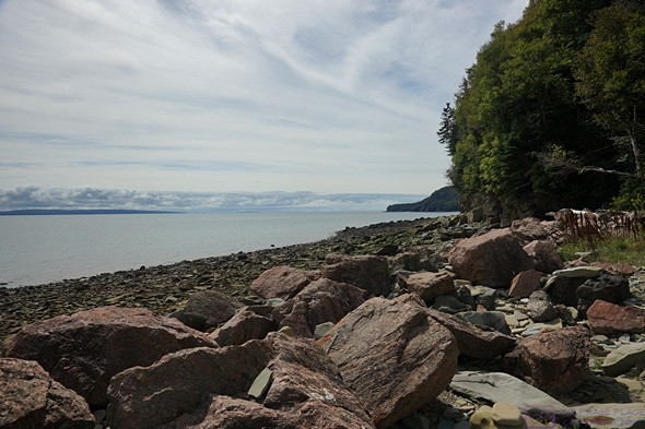
The weather forecast for tomorrow looked good, so we planned to go see the tides at Burntcoat Head on the Bay of Fundy.
…
